 |
|
|
Better Transit to Underserved NeighbourhoodsThe neighbourhoods that would be served along the Downtown Relief Line are well-designed for public transit use, and would be a major source of ridership and destination for passengers. When the Downtown Relief Line was first proposed as a need for Toronto’s system, both the Distillery District and Liberty Village were low-density industrial usage, rather than the vibrant mixed-use higher density neighbourhoods that they are now32,42. What we now know as the West Don Lands was still largely vacant industrial, and years away from the creation of the first plan to transform the area, Ataratiri9. The St. Lawrence neighbourhood was still undergoing change, and possibly most importantly, the railway lands sat vacant, lacking the Rogers Centre (1989), Air Canada Centre (1999), and the massive CityPlace residential development126,81,35. 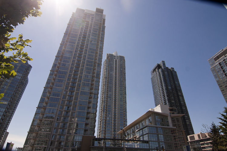 Cityplace. These are just some of the major neighbourhood changes that have happened since the Downtown Relief Line was first proposed as a necessity to relieve congestion on our subway system. In addition to these massive changes to neighbourhoods, 47 new developments 6 stories or more, including 16 that are more than 30 stories tall have been proposed since 2006 that would fall within 500 metres of a station on the Downtown Relief Line south of Bloor-Danforth31. Further development is expected to occur in the East Bayfront and Port Lands communities, adding 8000 jobs in the East Bayfront, almost 800,000 square metres of employment space in the Port Lands, and almost 30,000 residents between the two49,116. These are just the benefits of the downtown section. The rest of the line will go through neighbourhoods projected to be among the highest density neighbourhoods in Toronto by 2021 that are not already served by rapid transit, such as the areas around Flemingdon and Thorncliffe Parks, as well as future expansion serving the areas surrounding the GO Weston line119. A line which was once proposed simply as an alternate way of getting downtown now can be justified by the development that it serves in its own right, while still providing the necessary relief of the Yonge line that the original 1985 proposal was created to do. Image SourcesFrom top to bottom:
|